Description
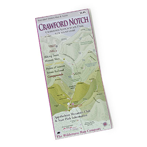
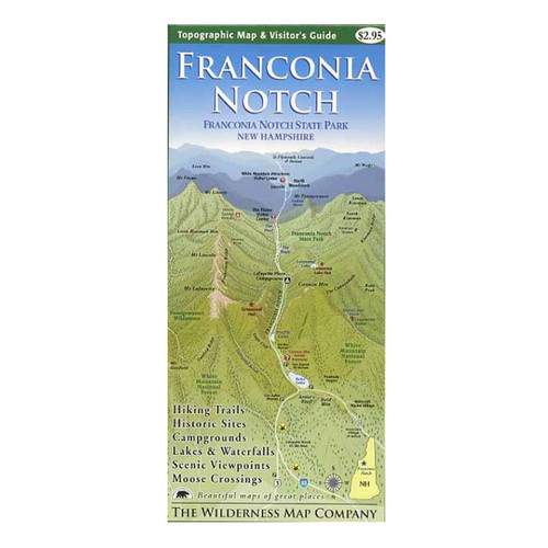
Wonderful illustrated map and guide to Mount Washington, New England's highest peak. Four-color map features all the trails on the mountain, plus descriptions to select paths, and includes info on the Cog Railway, Auto Road, the mountaintop weather observatory, and Mount Washington State Park. Cartography by Ed Rolfe.


