Description
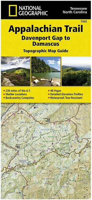
The AT MAPS TN/NC set includes four detailed five-color maps spread across two sheets. These maps cover the Appalachian Trail (A.T.) through the Cherokee and Pisgah National Forests, extending to the eastern entrance of the Great Smoky Mountains National Park. Featuring contour intervals of 100 feet with partially shaded relief and a scale of 1:63,360, these maps are essential for hikers. Originally released in 2005 and revised in 2008, these are the first hiking maps produced by ATC's GIS office.


