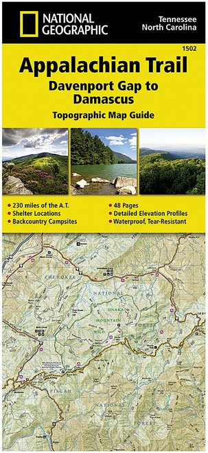
Description
This unique series consists of 13 topographic map guides covering every inch of all 2,168 miles of this iconic National Trail. Designed to navigate long distance trails, this unique mapping format features detailed topographic trail maps along with local contact information, elevation profiles, supply locations, key points of interest, itineraries and safety guidelines, history, and everything you need to plan a safe and memorable hiking trip. Created in partnership with local experts and land management agencies. User-friendly and light-weight design made with rugged waterproof, tear-resistant paper.


