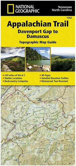
Description
Explore the iconic Appalachian National Trail with our topographic map guide covering Mt. Katahdin, ME. This guide is part of a unique series featuring detailed maps for all 2,168 miles of the trail. Perfect for long-distance hikers, it includes elevation profiles, supply locations, local contact information, key points of interest, itineraries, safety guidelines, and historical insights. Created in collaboration with local experts and land management agencies, this user-friendly guide is made with rugged, waterproof, and tear-resistant paper for durability on the go.


