Description
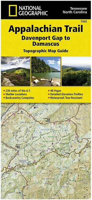
The APP TRAIL- MT CARLO NH 1511 is part of a unique series of 13 topographic map guides that cover the entire 2,168-mile National Trail. Each guide features detailed topographic trail maps, local contact information, elevation profiles, supply locations, key points of interest, itineraries, safety guidelines, and historical facts. Designed for long-distance trails, these guides are created in collaboration with local experts and land management agencies. They are user-friendly, lightweight, and made with rugged waterproof, tear-resistant paper, perfect for ensuring a safe and memorable hiking trip.


