Description
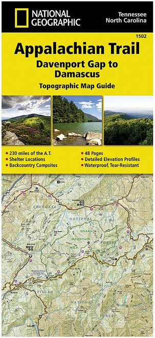
Seventeenth Edition, 2008. Covers Maryland, the eastern panhandle of West Virginia, and northern Virginia--94 miles from Pen Mar on the Pennsylvania border to the entrance to Shenandoah National Park near Front Royal, Virginia. Includes three five-color topographic maps with elevation profiles; scale, 1:62,500. Published by the Potomac Appalachian Trail Club.


