Description
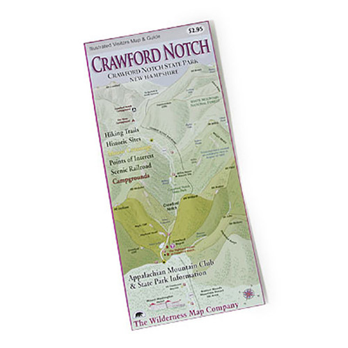
In full-color, printed on waterproof Tyvek, this fully updated map of the Crawford Notch–Sandwich Range and the Moosilauke and Kinsman regions of the White Mountain National Forest includes comprehensive trail coverage of Crawford Notch State Park, the Sandwich Range, and Echo Lake State Park, plus trails along the Kancamagus Highway from Conway toward Lincoln. On the reverse is a detailed map of Mount Moosilauke and North and South Kinsman, plus surrounding areas. GPS-rendered, this map is tear-resistant, has an easy-to-read scale, and includes trail segment mileage.


