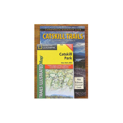
Description
The Western Trails Map Pack describes hiking opportunities defined by the Adirondack Park boundary to the north, west, and south, and by the villages of Paul Smiths, Tupper Lake, and Long Lake to the east. This area includes some of the wildest lands in the eastern United States. The guide covers seven Wilderness Areas, thirteen Wild Forest Areas, the extensive St. Regis Canoe Area, one Primitive Area, and two state forests, as well as the Cranberry Lake 50, a 50-mile hiking challenge. The map pack includes National Geographic Trails Illustrated Maps.


