Description
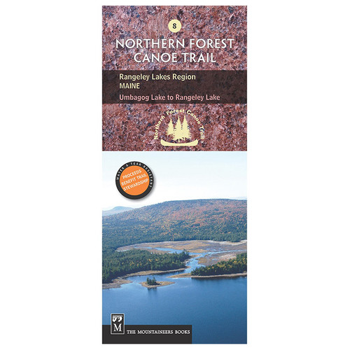
The Northern Forest Canoe Trail (NFCT) maps are created by the organization responsible for its development. Covering regions such as New York, Vermont, Quebec, New Hampshire, and Maine, the maps provide detailed information on put-in points, portages, campsites, local contacts, and permit guidelines. They are designed to be water- and tear-resistant with color contours that describe each route in detail. The Flagstaff Lake Region map, covering Maine's Rangeley Lake to Spencer Stream, guides paddlers through the Dead River and the expansive Flagstaff Lake—a result of Maine's hydro-power efforts. This section offers views of the Bigelow range, which includes some of Maine's tallest peaks and intersects the Appalachian Trail. Highlighting this area is the 30-ft Grand Falls, a must-see feature that requires portaging.


