Description
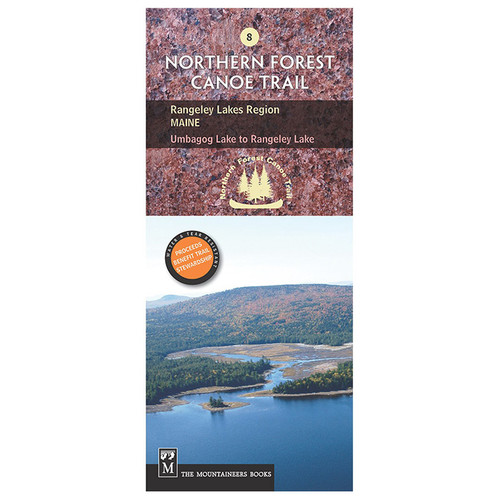
The official Northern Forest Canoe Trail maps are produced by the organization that conceived, coordinated, and developed the trail. The NFCT flows through New York, Vermont, Quebec, New Hampshire, and Maine. These maps include put-in points, portages, campsites, local contact information, and permit guidelines. The water- and tear-resistant color contour maps provide detailed route descriptions. Allagash Region: North Maine (Trail Section 13) covers the eastern-most terminus of the 740-mile water trail that links the watersheds of northern New York, Vermont, Quebec, New Hampshire, and Maine, following Native American travel routes through the region's rivers.


