Description
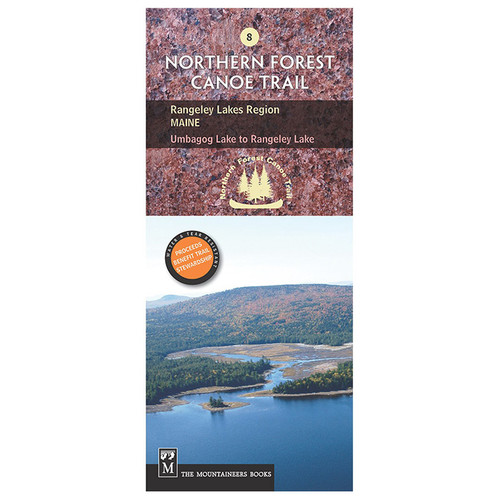
The #12 ALLAGASH REGION (South) ME map is part of the official Northern Forest Canoe Trail series, created by the organization that developed and maintains the trail. This map covers the Southern Maine section of the Allagash River, providing detailed information on put-in points, portages, campsites, local contacts, and permit requirements. Made of water- and tear-resistant material, these color contour maps offer comprehensive route descriptions for paddlers. The Northern Forest Canoe Trail spans 740 miles, linking northern New York, Vermont, Quebec, New Hampshire, and Maine along traditional Native American routes. This map covers nearly the entire eastern terminus of this extensive water trail.


